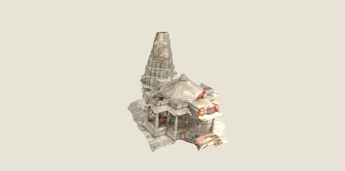
16.3 MB · local model and decoders · no external viewer
A reconstructed model, not a photograph or a survey. Reduced-motion and unsupported devices keep the still view. The original model is displayed unchanged for noncommercial viewing.
The source archive records a photogrammetry run completed on 7 October 2023 from 161 contributed images. The original GLB is displayed here without changing its geometry, textures or missing areas.
The site also has newer Gaussian-splatting runs. This viewer uses the older, smaller GLB; its date is kept separate from those later reconstructions. Camera viewpoints and visible-surface buttons help you inspect it without assigning invented architectural names or dates.
The model is distributed unchanged for this free, ad-free, noncommercial presentation under CC BY-NC-ND 4.0. Project Tirtha’s application code has a separate AGPL licence; that is not treated as the model’s licence. No Tirtha application code is embedded here.
Rendering uses locally bundled Three.js, MeshoptDecoder (MIT) and KTX2/Basis (Apache 2.0). The 16.3 MB model is self-contained. Unsupported compressed-texture devices keep the still view rather than allocating a large uncompressed fallback. Default views do not contact a model host.
The source’s geographic point conflicts with its district label when compared with the retained 2021 polygons. That point is rejected; no replacement map pin or route entrance is inferred. Reconstruction units are not presented as surveyed metres. The visible-surface controls are computed from the actual mesh and have no historical or cadastral meaning.